Residents with remaining holiday tasks should consider completing them on Monday before weather conditions deteriorate.
A multi-day precipitation event is forecast to impact Southern California starting Tuesday, with meteorologists expressing particular concern about late Tuesday night through Wednesday. During this period, intense rainfall may lead to street flooding, overwhelmed drainage systems, and possible mud or debris flows, particularly in hillside regions and areas affected by recent wildfires.
Flood Watch Issued
The National Weather Service has implemented a Flood Watch covering much of the Los Angeles metropolitan region from Tuesday afternoon through Friday afternoon. Forecasters anticipate rainfall rates reaching 0.75 to 1.25 inches per hour during peak periods.
Preparation Recommendations
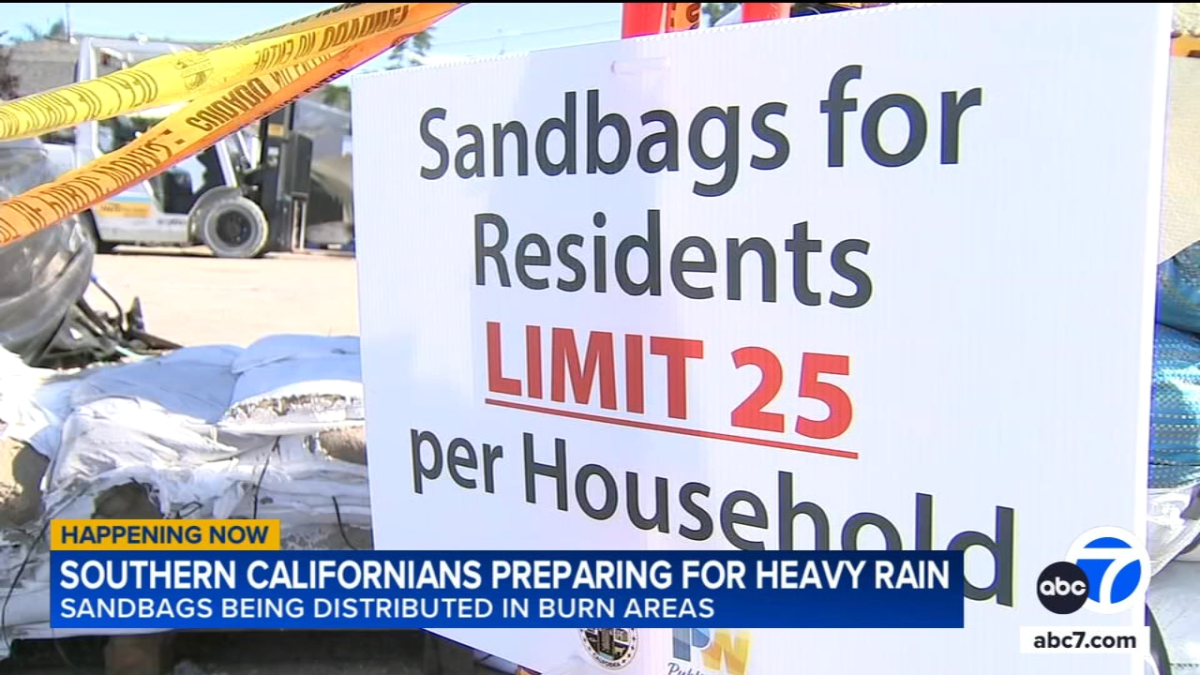
Individuals residing near slopes, burn zones, or flood-prone streets should immediately obtain sandbags, ensure storm drains are clear, and identify potential water accumulation areas around their properties.
"Hourly rain rates, especially in the upslope areas, should easily top one inch per hour during the peak of the storm on Wednesday," the NWS said. "The heaviest rain will be in the south-facing mountains, but very heavy rain, possibly close to an inch per hour, is possible at lower elevations as well and anyone in particularly vulnerable areas ... or any recent burn scars should start taking protective actions ASAP."
"There will almost certainly be numerous mudslides, severe flooding either from heavy rain or clogged storm drains, and possibly debris flows near recent burn scars," forecasters continued.
An atmospheric river previously affecting northern California is predicted to shift southward, targeting Southern California on Tuesday. Initial rainfall Tuesday evening is expected to measure less than half an inch before intensifying after midnight into Wednesday.
While Wednesday represents the storm's most severe phase, Christmas Day may still experience periods of rainfall, potentially heavy at times. Moist southwesterly flow is forecast to bring intermittent showers through Friday and Saturday, though precipitation rates should diminish to under a quarter-inch per hour by then.
Snow accumulation is not anticipated to be significant, with snow levels lowering to approximately 7,000 feet on Thursday and Friday.
Temperatures will cool ahead of the system, with Los Angeles downtown highs reaching 67 degrees Monday before gradually decreasing to 59 by Friday. Overnight lows will begin in the 50s early in the week before dropping into the 40s in some locations later.